 Teach English in Asia
  Cruise Ship Jobs
 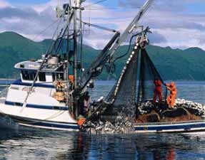 Alaska Fishing Industry Jobs
  Sharing Economy / Gig Economy
 The Geography of Hungary
Hungary is a country of just under 36,000 square miles, situated between Austria, Slovakia, the Ukraine, Romania, and the trio of formerly Yugoslavian territories: Slovenia, Serbia, and Croatia.
The Danube River, running north-south, partitions the country roughly into two distinct regions. The western portion of the county, called Transdanubia (or Dunatul in Hungarian), has a varied topography of smaller mountains and numerous hills mixed with flat, open ranges. To the east is a flat area known as the Great Plain, which stretches to the east and south of Budapest. At the top of the eastern portion of the county, stretching toward the border with the Ukraine, are the mountain ranges of northern Hungary.